1
/
of
1
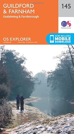
Guildford & Farnham Map | Godalming & Farnborough | Ordnance Survey | OS Explorer Map
Guildford & Farnham Map | Godalming & Farnborough | Ordnance Survey | OS Explorer Map
Regular price
£11.99 GBP
Regular price
Sale price
£11.99 GBP
Unit price
/
per
Tax included.
Shipping calculated at checkout.
Couldn't load pickup availability
Explore England’s most wooded county and the Surrey Hills Area of Outstanding Natural Beauty. Experience beautiful historic Farnham, follow the River Wey south to Godalming or walk the North Downs Way to Guildford, taking in the spectacular scenery of the Devil’s Punch Bowl with its views across the Weald.
- Discover Farnborough’s links with the aviation industry, bustling Woking and the military town of Aldershot
- Starting at Farnham, with its medieval castle and tranquil Waverley Abbey, walk the North Downs Way to vibrant Guildford with its cobbled streets
- Walk, hike or cycle along beloved recreational paths including the Greensand Way, St Swithun’s Way and Fox Way
OS Explorer Maps:
- 1:25 000 scale (4 cm to 1 km – 2½ inches to 1 mile).
- Great for walkers, hikers, cyclists, families, dog walkers, and horse riders.
- Includes roads, rights of way, permissive paths and bridleways, plus essential visitor information.
- Free digital download included.
- Other Ordnance Survey maps of the Surrey Hills include Haslemere & Petersfield Explorer map OL33 and Basingstoke, Alton & Whitchurch Explorer map 144
Share