1
/
of
1
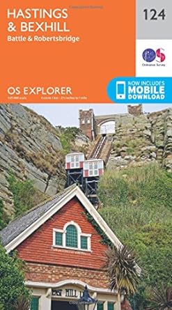
Hastings & Bexhill OS Map
Hastings & Bexhill OS Map
Regular price
£11.99 GBP
Regular price
Sale price
£11.99 GBP
Unit price
/
per
Tax included.
Shipping calculated at checkout.
Couldn't load pickup availability
Experience the history-rich countryside where the High Weald, an Area of Outstanding Natural Beauty, sweeps down to the shore where the fate of Britain was decided in 1066. Explore Battle and visit the actual spot where the Battle of Hastings took place, now a beautiful wildflower meadow dotted with the ruins of a grand abbey built in penance for the slaughter.
- Visit the seaside towns of Hastings and Bexhill with their medieval Old Towns, Victorian and Edwardian seafronts and pavilions
- Glimpse wild deer and boar roaming in the forests near Robertsbridge and Dartwell Reservoir in the High Weald
- Walk or cycle in the footsteps of William the Conqueror on the 1066 Path, or start the Saxon Shore Way from Hastings to head north to Winchelsea
OS Explorer Maps:
- 1:25 000 scale (4 cm to 1 km – 2½ inches to 1 mile).
- Great for walkers, hikers, cyclists, families, dog walkers, and horse riders.
- Includes roads, rights of way, permissive paths and bridleways, plus essential visitor information.
- Free digital download included.
- Other Ordnance Survey of Kent and East Sussex include Romney Marsh, Rye & Winchelsea Explorer map 125 and Eastbourne & Beachy Head Explorer map OL25
Share