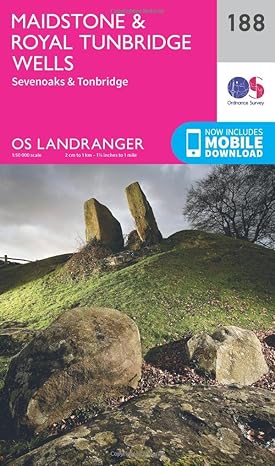
Maidstone & Royal Tunbridge Wells Map | Sevenoaks & Tonbridge | Ordnance Survey
Maidstone & Royal Tunbridge Wells Map | Sevenoaks & Tonbridge | Ordnance Survey
Couldn't load pickup availability
Discover the North Downs and High Weald and the historic Kent towns in between, surrounded by idyllic countryside characterised by vineyards and orchards. Visit Maidstone and Sevenoaks and the nearby world-famous houses of Knole, set in a vast deer park, and romantic Hever Castle.
- Experience for yourself why Royal Tunbridge Wells became a favourite with Queen Anne and Queen Victoria
- Visit Chiddingstone Castle, Scotney Castle and Groombridge Place, exquisite historic houses set in magnificent gardens
- Walk, hike and cycle along the North Downs Way and other beloved recreational paths to immerse yourself in the Kent countryside
OS Landranger Maps:
- 1:50,000 scale (2 cm to 1 km – 1¼ inches to 1 mile).
- Covers larger area in less detail.
- Ideal for long distance walking, cycling, family days out and more.
- Includes roads, rights of way, permissive paths and bridleways, plus essential visitor information.
- Free digital download included.
- Other Ordnance Survey Landranger maps of Kent include Ashford & Romney Marsh map 189 and Thames Estuary map 178.
Share


