1
/
of
1
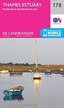
Thames Estuary Map | Rochester & Southend-on-Sea | Ordnance Survey
Thames Estuary Map | Rochester & Southend-on-Sea | Ordnance Survey
Regular price
£11.99 GBP
Regular price
Sale price
£11.99 GBP
Unit price
/
per
Tax included.
Shipping calculated at checkout.
Couldn't load pickup availability
Stroll the longest pleasure pier in the world at Southend-on-Sea, extending 1.33 miles into the Thames Estuary. Explore the fascinating area where the River Thames meets the North Sea, from the migratory bird haven of Foulness Island to the fossil beds of the Isle of Sheppey.
- Discover the Medway towns of Gillingham, Chatham and Rochester, where Rochester Cathedral soars towards the sky and towering Rochester Keep guards the river crossing
- Roam the Hoo Peninsula, where you can follow the Saxon Shore Way and Heron Trail through marshlands and heron reserves
- Walk, hike, climb and cycle along the North Downs Way, the Thames Estuary Path and other recreational trails through Essex and Kent
OS Landranger Maps:
- 1:50,000 scale (2 cm to 1 km – 1¼ inches to 1 mile).
- Covers larger area in less detail.
- Ideal for long distance walking, cycling, family days out and more.
- Includes roads, rights of way, permissive paths and bridleways, plus essential visitor information.
- Free digital download included.
- Other Ordnance Survey Landranger maps of the Thames include West London map 176 and Luton & Hertford map 166.
Share


